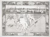
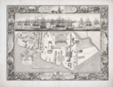
A Geometrical Plan, & North West Elevation of His Majesty’s Dock-Yard, at Chatham, with ye Village of Brompton Adjacent

A Geometrical Plan, & North West Elevation of His Majesty’s Dock-Yard, at Chatham, with ye Village of Brompton Adjacent
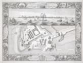
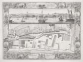
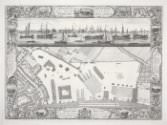
One of a series of views of the six Royal Dockyards, which were by the mid-eighteenth century the world's largest industrial complex and the state's biggest investment. These engravings present the dockyards as orderly, efficient, and rational; each makes reference to the specific functions of the dockyard represented, which depended in part on location. Chatham, on the Medway, was used as a strategic naval base during the Anglo-Dutch Wars of the seventeenth century. Sheerness, at the mouth of the Medway, was then built to take some of the pressure off Chatham, so that ships needing minor repairs did not have to travel the length of the river. Thereafter fleets moored at Chatham during the winter or while on reserve, and the dockyard became employed in repairs more than shipbuilding. Accordingly, the vignettes bordering this print display a combination of dockyard practice (“Sheathing in the dock”), maneuvers (“Laying to under balanc’d mizzen”), and disasters (“Jamb’d in between rocks,” “Wreck’d on the sands”).

